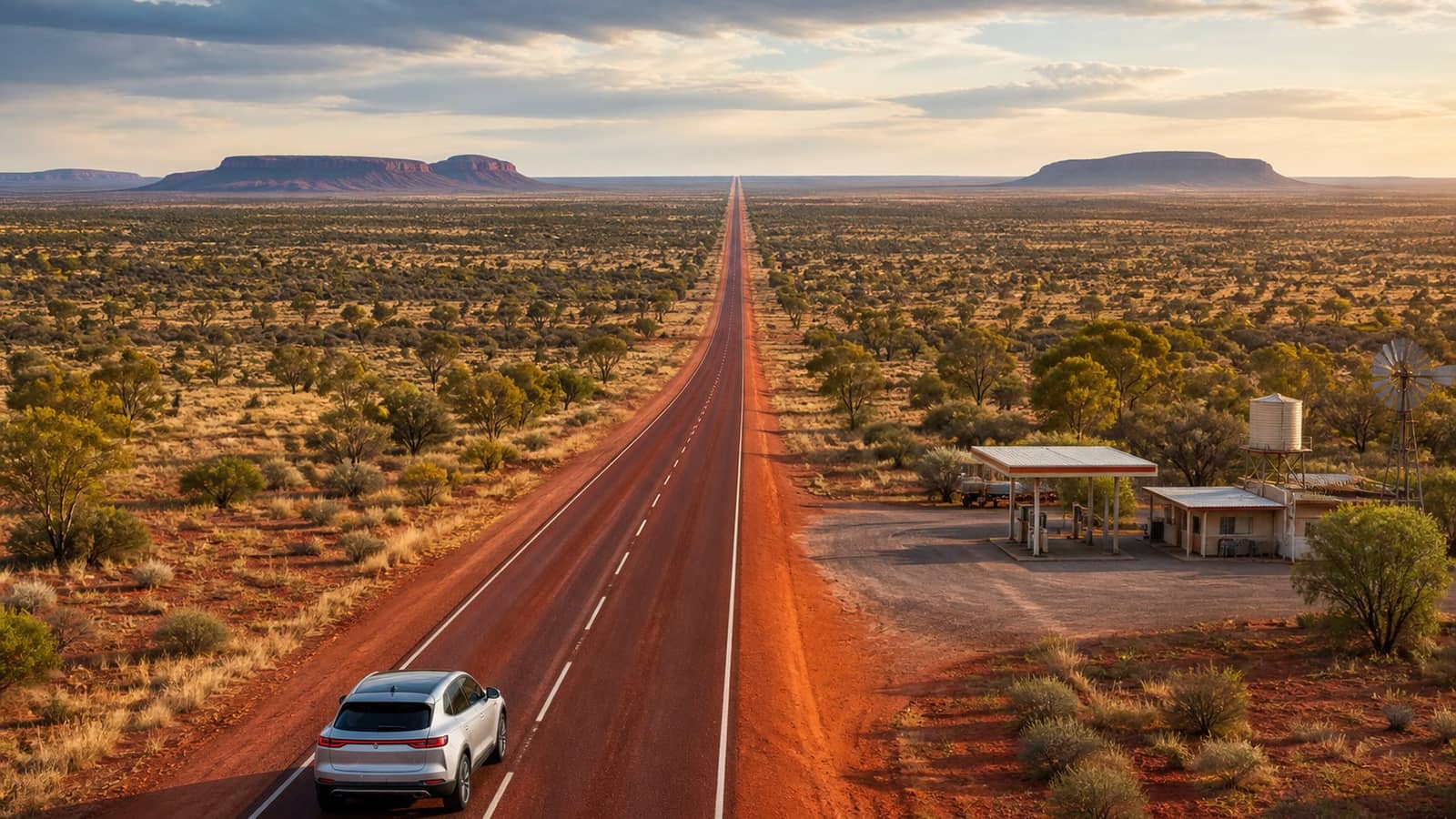

The Stuart Highway still has the long gap. EV Roadside and The Driven's June 2026 look at Australian public fast chargers — fifty kilowatts and up — leaves the Territory corridor as the national outlier while the southeastern spines sit inside a workable band.
Cite the sources carefully and don't mash the numbers. The Driven has put Katherine to Tennant Creek around 625 kilometres. EV Roadside, on a different cut of the Alice–Darwin problem, has discussed a dataset-dependent gap on the order of about 1,500 kilometres. Southeastern corridors — Hume, Pacific, Bruce, Western — show no gap worse than about 150 kilometres. Nullarbor and Eyre improved to about 175 kilometres on The Driven's post-build reading. This is the Stuart story, not the Hume victory lap.
Start with why the Stuart matters. It's the sealed spine that ties Adelaide's northward imagination to Darwin — freight, grey nomads, defence traffic, and the occasional EV pioneer who treats the Territory as a planning exam. When public DC fast chargers leave a hole measured in hundreds of kilometres, the exam fails for ordinary touring range. June 2026 didn't close that hole. It documented it.
The Driven's Katherine–Tennant Creek figure of about 625 kilometres is a town-to-town gap on a named mid-2026 telling in this reporting family. That's already longer than many highway EVs' real-world highway range with margin. EV Roadside's Alice Springs–Darwin discussion at about 1,500 kilometres depending on dataset and "usable DC" definition is a different measurement with different endpoints. Say which source said what. Never average them into a fake third gap.
Southeastern contrast is the control sample. EV Roadside and The Driven put Hume, Pacific, Bruce, and Western inside a no-gap-worse-than-about-150-kilometres band for public DC at or above 50 kilowatts. That's why a companion piece can say the Hume is already fine. The Stuart can't borrow that sentence. About 150 kilometres and about 625 kilometres aren't cousins.
Nullarbor improvement belongs as a foil, not a consolation prize for the Territory. After the WA EV Network and RAA Charge build-out, The Driven's reading puts Nullarbor and Eyre stretches in a no-gap-worse-than-about-175-kilometres band. The plain got denser. The Stuart's long hole didn't automatically shrink because the Nullarbor did. Two corridors. Two outcomes. One national map that isn't one colour.
Fifty kilowatts is still the floor these analyses use for "fast." Destination AC and slower DC are useful overnight tools; they don't erase a 625-kilometre daytime hole. Power floor first, then gap length, then which highway. Stuart Highway — longest fast-charger gap in the June 2026 packet when you read Driven's Katherine–Tennant Creek line as the sharpest town-to-town insult, and EV Roadside's Alice–Darwin dataset line as the longer problem statement.
Separate from the Hume-is-already-fine story. That piece celebrates southeastern spacing. This one refuses to let the Stuart hide in a national average. Capital-to-capital EV trips on the southeast spines are workable on the June maps. Darwin runs on the Stuart are still a specialist plan with jerry-can thinking replaced by battery anxiety and satellite pins that are too far apart.
Numbers. Stuart / Driven: about 625 km Katherine–Tennant Creek. Stuart / EV Roadside: about 1,500 km Alice–Darwin, dataset-dependent. Southeast corridors: about 150 km or better. Nullarbor/Eyre improved: about 175 km on Driven post-build. Fast floor: 50 kW and up public DC. Sources: thedriven.io (25 June 2026 packet in this family); evroadside.com.au.
Planning English for drivers. If your highway range is roughly 400 kilometres on a hot day with air-con, a 150-kilometre gap is a coffee stop. A 625-kilometre gap is a different sport — you need a charger that exists, is online, and sits where the map claims. App hygiene still applies: PlugShare and Chargefox live status can ruin a neat gap map. Spacing is the network story. Live status is Tuesday morning.
Freight isn't this customer. Megawatt charging for trucks is another desk. The story here is touring and private-EV geography on public DC at 50 kilowatts and up. Defence and mining traffic on the Stuart have their own fuel logics. The public fast-charger map is what holiday makers and relocating households actually open.
Why Alice–Darwin and Katherine–Tennant both appear. Alice to Darwin is the journey people name. Katherine to Tennant Creek is a brutal segment inside that journey on Driven's telling. EV Roadside's longer Alice–Darwin dataset reading may include different assumptions about which pins count as usable fast DC. Attribution is the craft. Blending is how roads numbers become lies.
Policy colour without a campaign. Closing a 625-kilometre hole means funded sites, grid or generation at remote pins, maintenance contracts, and redundant bays so one offline unit doesn't recreate the hole. June 2026 coverage documents the gap; it doesn't publish a Treasury minute. Report the gap. Leave the grant round to the announcement that names dollars.
North West Coastal's around-250-kilometre gaps sit between southeast comfort and Stuart extremity on the same June readings. Useful as a third band if you're mapping the continent. Still not the Stuart. The title's job is to keep the long gap attached to the right highway.
Heat and headwind are Territory multipliers. Published gap kilometres assume a car that arrives with usable state of charge; summer Stuart running with a headwind and the air-con on hard turns a theoretical range sticker into a shorter real stick. That's why remote fast-charger spacing has to be tighter than a temperate Hume hop for the same vehicle brochure. The June analyses measure pins. Drivers still measure weather.
Roadhouse culture used to mean diesel and a pie. EV culture on the Stuart will mean a working DC bay, a shade structure, and a backup plan if the only pin for 300 kilometres is faulted. Until the map fills, the honest service journalism is: don't treat the Stuart like the Hume; read Driven's 625 and Roadside's Alice–Darwin line with their source tags; carry the southeastern 150 and Nullarbor 175 as proof other corridors moved.
Australian metric throughout. Kilometres, not miles. Fifty kilowatts, not vague "fast." About 625 and about 1,500 only with source tags. About 150 and about 175 for the foils. Readers heading north deserve numbers that survive a roadhouse argument.
Close. On June 2026 public fast-charger maps from EV Roadside and The Driven, the Stuart Highway remains the long gap — about 625 kilometres Katherine–Tennant Creek on a Driven telling; about 1,500 kilometres Alice–Darwin on an EV Roadside dataset-dependent telling. Southeastern corridors sit at about 150 kilometres or better. Nullarbor and Eyre improved to about 175 kilometres after WA EV Network and RAA Charge. Sources: thedriven.io; evroadside.com.au. The Hume can be fine. The Stuart still has the long gap.
The paper
Comments
No notes on this story yet.
Sign in to comment